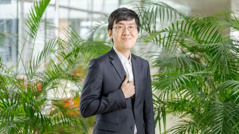
Yoon Seok Kim, flying in the orbit of Nobels
— The Assistant Professor of Life Science Engineering at EPFL has worked alongside three laureates, last of which Karl Deisseroth, 2026 Nobel in Physiology or Medicine. He looks back on a singular scientific journey.